
We're pleased to announce that our GeoVation bid, 'Helping Campaigners Campaign' has been shortlisted from the 155 ideas submitted to GeoVation!
The proposal is for an extensive suite of tools that will really help cycling campaigners around the UK – people who are already enthused – to be more effective in their work. It will build on the basic reporting facility in our Photomap and its fleldgling categorisation system.
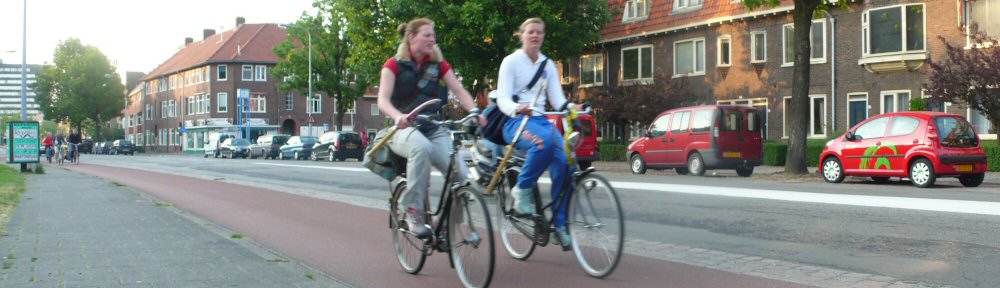
These groups – large and small, national and local, are the people on the ground who work make cycling better. They're already enthused, so we need to give them as much support as possible.
However, there's a way to go yet – firstly we are invited to develop the idea at the GeoVation Camp, 25 – 27 March. The best ideas, hopefully including ours(!) will then go forward to the final pitching session, the GeoVation Showcase, on May 4th.
Support for our bid
We're pleased to say that the bid now has the support of both of the national cycle campaigning organisations as well as a number of the most active local groups, including the biggest, London Cycling Campaign:
- Cyclenation, the national federation of cycle campaign groups
- CTC, the national cyclists’ organisation
- Cambridge Cycling Campaign
- London Cycling Campaign
- Richmond Cycling Campaign
- Bristol
- Pedals (Nottingham Cycling Campaign)
- Dublin Cycling Campaign
- Spokes – the Lothian Cycle Campaign
- Spokes (East Kent Cycle Campaign)
- Loughborough & District Cycle Users' Campaign
- Push Bikes, the Birmingham Cycling Campaign
- CycleSheffield
all of whom have written quotes of support. Please let us know if you would like to add your group to the list.
 How would it work, in brief?
- Cyclists would pinpoint problems (points/lines) on a map, e.g. lack of cycle parking, hostile roads, absence of needed route, poor quality cycling conditions, etc., with a photo if available. Planning applications could also appear automatically where the data is available.
- (Mobile apps can also post to the database using the existing infrastructure to enable this.)
- Others can publicly comment on each submission and add local knowledge. Examples of best practice elsewhere in the system can be pulled in (e.g. as example solutions).
- A 'heat map' of problem areas would start to develop, together with per-point indications of status of a problem
- Each location effectively becomes an entry in both the map and in a forum-style view
- Campaign group members would log in to their group's area of the website, and would have drag-and-drop -style tools to prioritise and discuss the locations. Locations could also be grouped together, e.g. so that multiple issues arising from one development are treated most effectively.
- Documents, e-mails and web references can be 'attached' to a particular issue so that all information relating to one issue is in one place.
- Cyclists in each area would also be encouraged to register and to 'draw on the map' their typical journeys (helped by the CycleStreets journey planner), so that they can then be alerted to issues and campaigns along those routes
- As an issue progresses in terms of external campaigning, it is updated and 'published' in various ways via the site
- Prioritised lists can be 'pushed out' to Local Authority contacts, or they can be invited to join the conversation
- When issues are finally resolved these would be marked as such, also publicising the work of the group concerned
- Where routes in the CycleStreets journey planner are planned that pass through improved areas, the work of the group would be publicised!
The whole system would need to be extremely user-friendly, so that it gets the widest possible usage and actively engages people without technical skills.